Winter Weather Advisory for Lake Tahoe Basin
A Winter Weather Advisory has been issued for the Lake Tahoe Basin, with significant snowfall expected as a strong storm approaches the region.

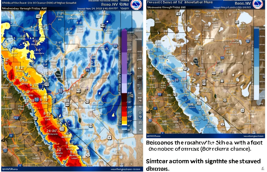

The National Weather Service (NWS) in Reno has issued a Winter Weather Advisory for the Lake Tahoe Basin above 7,000 feet, effective from 10 p.m. Sunday to 7 p.m. Monday (Source 1). Snow accumulations of 3 to 7 inches are expected above 7,000 feet, with the highest amounts west of Highway 89. Additional snowfall is anticipated as a stronger and colder storm is expected to move into the area Wednesday into Thursday. [1]
The NWS Reno morning report indicated that South Lake Tahoe could see snowfall totals of 8 to 12 inches Wednesday night to Thursday morning. This storm is expected to bring heavy Sierra snow and snow down to western Nevada valley floors (Source 1). Earlier snowfall on Friday night brought 7 to 14 inches of snow above 7,000 feet, with 2 to 5 inches below 7,000 feet, including lake level. [1]
In addition to the snowfall, about 1 inch of rain fell at lake level and down to the Carson Valley during the Friday night storm. Ridgetop winds could gust as high as 70 mph during the advisory period (Source 1). The NWS has urged residents and visitors to stay tuned for updates as the storm system approaches and intensifies. [1]
The National Weather Service (NWS) in Reno has issued a Winter Weather Advisory for the Lake Tahoe Basin above 7,000 feet, effective from 10 p.m. Sunday to 7 p.m. Monday (Source ID: 1). This advisory highlights the potential for significant snowfall and strong winds in the area. The advisory covers a large portion of the Sierra Nevada, with snow accumulations of 3 to 7 inches expected above 7,000 feet, and up to 1 inch of snow around lake level. Ridgetop winds could be gusting as high as 70 mph, adding to the challenges of travel and outdoor activities in the region. [1]
Advertisement
A stronger and colder storm is expected to impact the Lake Tahoe Basin Wednesday into Thursday, bringing heavy Sierra snow and snow down to western Nevada valley floors (Source ID: 1). The NWS Reno morning report indicated that South Lake Tahoe could see snowfall totals of 8 to 12 inches Wednesday night to Thursday morning. This storm is anticipated to be more intense than the previous one, with the potential for significant accumulations and hazardous travel conditions in the area. The advisory serves as a reminder for residents and visitors to prepare for potentially severe weather conditions. [1]
The Friday night storm brought a burst of snow to the Sierra, with totals of 7-14 inches above 7,000 feet, and 2-5 inches below 7,000 feet, including lake level. About 1 inch of rain fell at lake level and down to the Carson Valley (Source ID: 1). This storm demonstrated the potential for rapid changes in weather conditions, emphasizing the need for continued monitoring of the NWS forecasts. The combination of snow and rain can lead to slick road conditions and increased avalanche risks in the mountainous regions. [1]
The National Weather Service (NWS) in Reno has issued a Winter Weather Advisory for the Lake Tahoe Basin above 7,000 feet, effective from 10 p.m. Sunday to 7 p.m. Monday (Source ID: 1). This advisory highlights the potential for significant snowfall in the region, with snow accumulations of 3 to 7 inches expected above 7,000 feet. The highest snowfall is anticipated west of Highway 89, and up to 1 inch of snow is expected around lake level. [1]
A stronger and colder storm is expected to impact the Lake Tahoe Basin Wednesday into Thursday, bringing heavy Sierra snow and snow down to western Nevada valley floors (Source ID: 1). The NWS Reno morning report indicated that South Lake Tahoe could see snowfall totals of 8 to 12 inches Wednesday night to Thursday morning. This storm is anticipated to be more significant than the previous Friday night storm, which brought 7-14 inches of snow above 7,000 feet and 2-5 inches below 7,000 feet, including lake level. [1]
Advertisement
In addition to the snowfall, about 1 inch of rain fell at lake level and down to the Carson Valley during the Friday night storm (Source ID: 1). The NWS has emphasized the importance of staying updated as the system develops and the potential for increased snowfall and wind gusts, with ridgetop winds potentially reaching as high as 70 mph. [1]
Sources
Prepared with AI assistance from the cited sources.
The Cali Reporter newsletter
The stories worth your time.
California, the country, and what comes next. Join our free newsletter for reporting that keeps you informed.
More in South Lake Tahoe
- Nevada's Early History and Individualism
A Nevada history textbook for the sight-impaired, 'Battle Born Nevada,' highlights the state's early days of individualism and the pivotal role of the Corbett-Fitzsimmons fight in securing Nevada's statehood.
- PRO Skijor Expands 2027 Frontier Tour with New Stops
PRO Skijor has announced the expansion of its 2027 Frontier Tour, adding new events in Denver and Lake Tahoe, with the championship set to take place in March.
- John Van Buren Perry, Historian and Educator, Dies at 98
John Van Buren Perry, a respected historian and educator, passed away on October 27, 2026, at the age of 98 after a short illness. He was known for his extensive contributions to education and his passion for cultural…