

Why Top Expert Calls For Urgent Warning On Oregon Coast As 72 mph Gusts Expected During First Fall Storm
Prof wonders why National Weather Service has not issued stronger warning for areas south of the mouth of the Columbia River

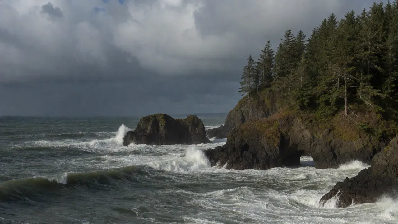
The relationship between the Pacific Ocean and the American West is ancient and complex. It is not merely a body of salt water it is a breathing entity that dictates the rhythm of life from Northern California to the Canadian border. As the calendar turns toward fall the atmosphere begins to churn sending energy toward the shoreline. This week the system is preparing to make landfall.
The latest data suggests the first fall storm of 2026 will arrive with force. A gale warning is now in effect for specific zones. Officials have set the timeline for this weather event. It begins at 11 p.m. Thursday and lasts until 2 p.m. Friday. The warning covers offshore waters in Pacific and Clatsop counties and other areas along the coast. The National Weather Service predicts isolated gusts nearing 60 mph. You can keep track of the developing situation with the latest coverage from the area here.
While the winds grab attention the rain brings a different kind of significance. An AR2 atmospheric river advisory is in place from the Center for Western Weather and Water Extremes. This scale runs from zero to five and an AR2 is generally considered mostly beneficial. It promises substantial rainfall following a dry summer. This moisture is a critical component of the regional water cycle.

However not everyone views the storm as a minor inconvenience. Cliff Mass an atmospheric sciences professor at the University of Washington offers a different perspective. He writes that the atmosphere has taken notice of autumn. Mass describes a significant midlatitude cyclone crossing the northern Oregon coast. He notes that a very intense but small low-pressure center will make landfall. The European Centre for Medium-Range Weather Forecasts even predicts gusts up to 72 mph just west of Pacific and Clatsop counties. This specific data point highlights the potential for localized impact.
Despite these strong numbers the National Weather Service has not yet issued a high-wind warning for land areas. Mass expressed puzzlement over this decision. He questioned why the agency had not issued a stronger warning as of early Thursday morning. He is particularly concerned that the storm is expected to bear the brunt of its force south of the mouth of the Columbia River. His worry extends to the offices in Seattle and Portland. He believes they need to issue some kind of warning for the northern Oregon coast.
First reported by Chronline.
More in West Coast
- Portland Public Schools Faces Intense Opposition Over Proposed Facility Closures
Community members, educators, and board members expressed significant frustration during a recent meeting regarding a plan to consolidate buildings and programs to address declining enrollment.
- Portland’s Bike Buses Offer Relief from I-5 Disruptions
Weekly group bike rides, expanded during the I-5 southbound closure, are drawing commuters seeking community, safety and a more enjoyable alternative to gridlock.
- Why You Might Not Need Cable to See the Washington Huskies Smash the Minnesota Gophers This Saturday Night
Seattle hosts the Huskies in a Big Ten matchup you can stream on FOX for free this weekend.