

Two Pacific Hurricanes: 140 MPH Winds Target Southern California Beaches While Southwest Braces for Drenching Rain
Surge and showers expected as storms churn offshore

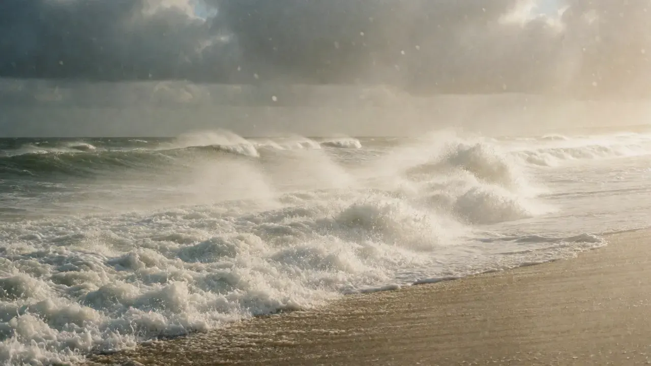
Two hurricanes churning in the Pacific Ocean off Mexico are sending high surf toward Southern California that will overlap with unusually high tides. This means hazards for beachgoers and possible coastal flooding for families living along the coast. The hurricanes, Polo and Odalys, are not expected to make landfall in California. However, isolated showers are forecasted in parts of Southern California on Monday. Other areas of the Southwest are likely to get substantial rain.
Polo, a Category 4 hurricane with sustained winds of 140 mph, is on track to make landfall in Baja California Sur on Monday. This trajectory will unleash heavy rains and flooding there. Hurricane Odalys, with 90 mph winds, is nearly 900 miles west of the southern tip of Baja California. Forecasters predict it will turn away from land and weaken. Polo intensified quickly to become a major hurricane. This was fueled by warm ocean waters.
To have a storm of this intensity persist as a strong hurricane all the way into Baja is unusual, said Marty Ralph, director of the Center for Western Weather & Water Extremes at UC San Diego’s Scripps Institution of Oceanography. That is partly because the ocean temperatures are so warm off of Mexico, he said. The warmth helps the hurricane retain its structure and strength to a degree that would not normally be the case. The hurricanes developed amid a marine heat wave and a strong El Niño, the pattern of ocean waters warming in the central and eastern Pacific.

In L.A. and Ventura counties, four- to seven-foot surf is forecasted on Monday and Tuesday. This brings strong rip currents and possible coastal flooding, said Lisa Phillips, a meteorologist at the National Weather Service’s Oxnard office. Ocean water is going to creep up higher than normal, Phillips said. High tides are going on at the same time as the higher surf. This combination is when families start to see more of those coastal flooding impacts and beach erosion. The weather service issued a coastal flood advisory for L.A. and Ventura counties on Monday and Tuesday. For Orange and San Diego counties, a coastal flood advisory will be in effect Monday through Wednesday.
Forecasters say beachgoers should be cautious. Parents should check with lifeguards on whether it is safe to swim and stay off rock jetties. Earlier this month, intense waves from Hurricane Marie damaged beachfront homes in parts of Southern California. These waves also chewed away at beaches. In Long Beach, where waves slammed into the seawall and homes, crews have been reinforcing portions of the boardwalk. They are also distributing sandbags. As Polo reaches Mexico, Southern California will probably see some unusual clouds and a few showers, Ralph said. But the region will be on the storm’s outer edge as it passes through Baja California and then mainland Mexico and into the desert southwest.
Arizona and New Mexico will probably get substantial rains, he said. The storm could also bring enough moisture farther north to give the Colorado River’s depleted reservoirs a small boost. Hurricane Nolo is also bringing strong winds and heavy rains to Hawaii this weekend. The safety of families in Hawaii and along the California coast remains the priority as these systems move through the Pacific.
First reported by LA Times: California.
More in California
- UC Berkeley Lab Proposes New Civic Framework for California’s Next Governor
A research-driven agenda calls for institutionalizing 'co-governance' to address low public trust and lack of resident influence in state decision-making.
- Five Tax Measures on California’s Ballot Aim to Reshape State Finances
Propositions 3, 40–43 would alter income, wealth and local taxation rules—marking the highest number of tax measures on a general election ballot since 1994.
- Catalina Helicopter Crash Highlights Risks of Island Medevac Flights
A medical evacuation chopper carrying Catalina Romero, pilot, and nurse Jessica Devries crashed into the ocean shortly after takeoff, killing all three; federal investigators are assessing causes including night flying, spatial disorientation, and the island’s challenging Pebbly Beach heliport.